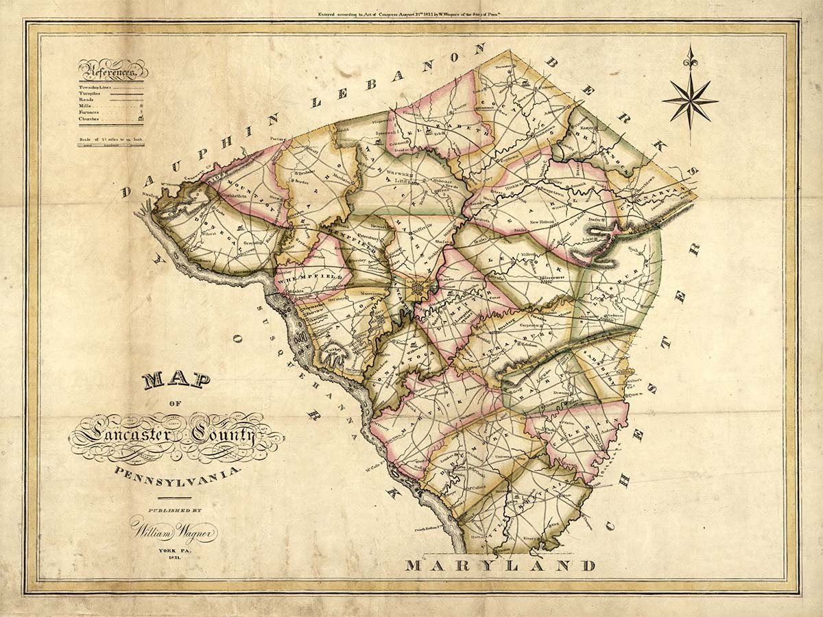
1821 Map of Lancaster County
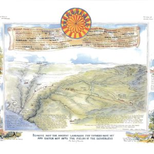
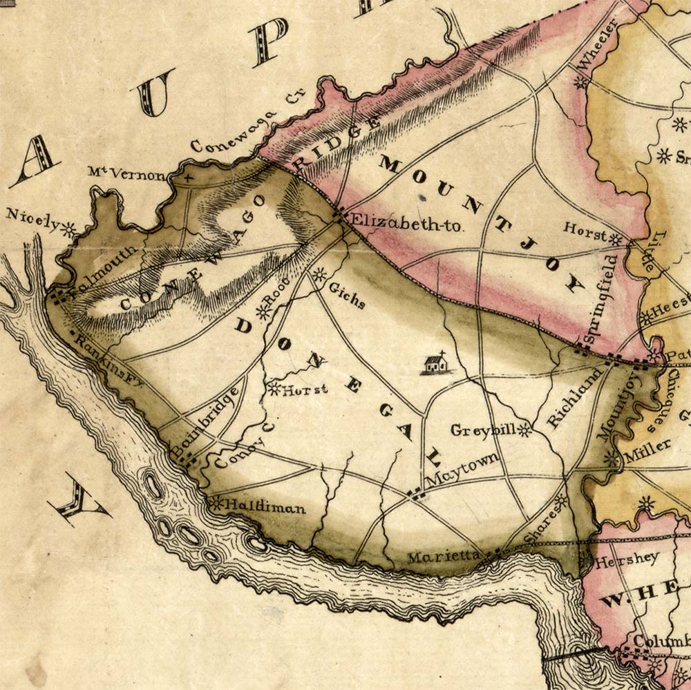
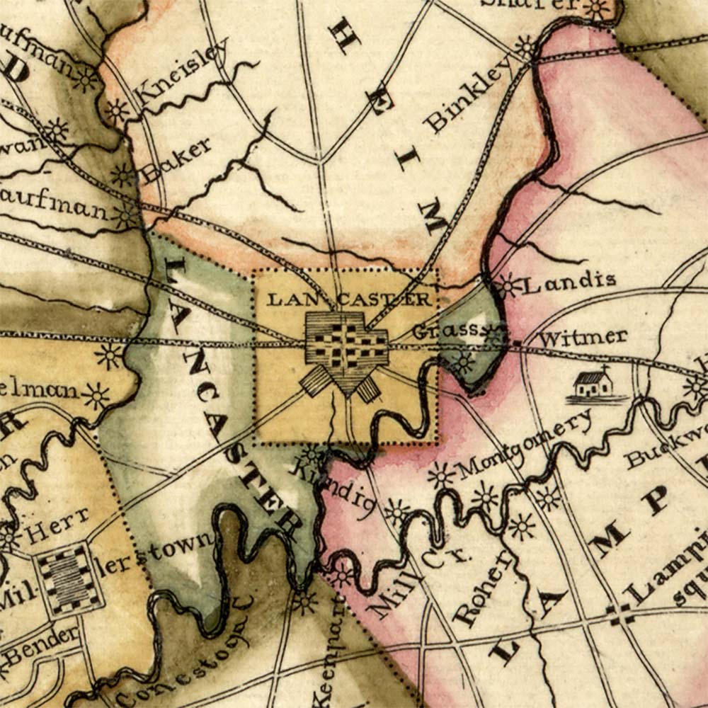
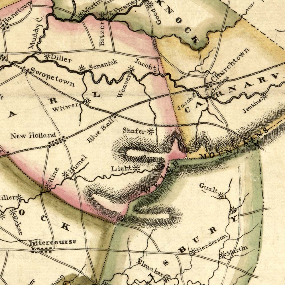
If you enjoy old maps, then you will love this 18″ x 24″ matte print of William Wagner’s 1821 map highlighting Lancaster County and its various townships, waterways, rivers, turnpikes, roads, mill sites with owner names, furnaces, and churches.
Wagner’s map is the first official document to show Lancaster County’s modern icon shape. Since its creation on May 10, 1729, Lancaster’s boundaries have changed several times over the decades, and it wasn’t until 1813 that it finally transformed into the diamond silhouette we recognize today.
Dimensions: 18″H x 24″W
Only $25, includes shipping and handling.
$25.00